
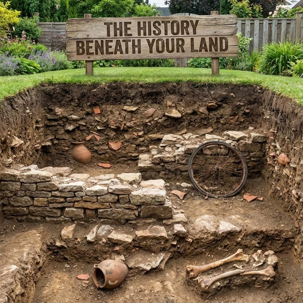
The History Beneath Your Land
Beneath every Indiana parcel is a story—of glaciers, water, settlement, and early survey lines. Understanding that history brings clarity to value, usability, and options.
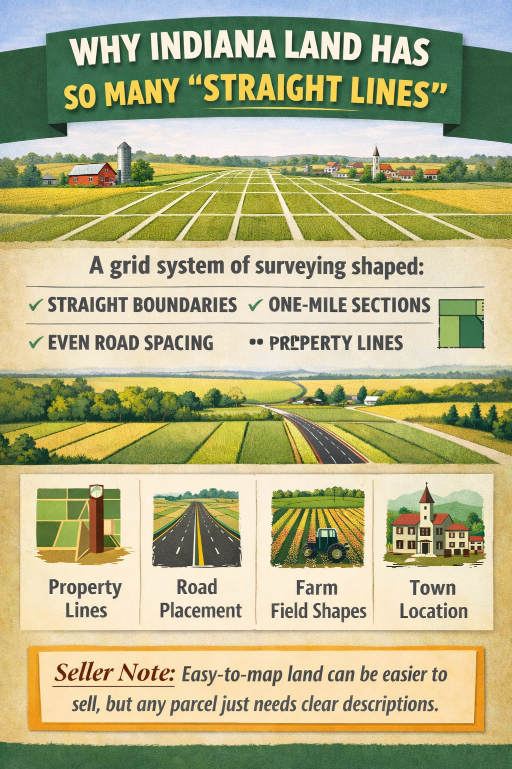
Why Indiana Land Has So Many “Straight Lines”
Indiana’s clean grid patterns are no accident. Early surveying systems shaped property lines, roads, and farm fields in ways that still affect land value and usability today.
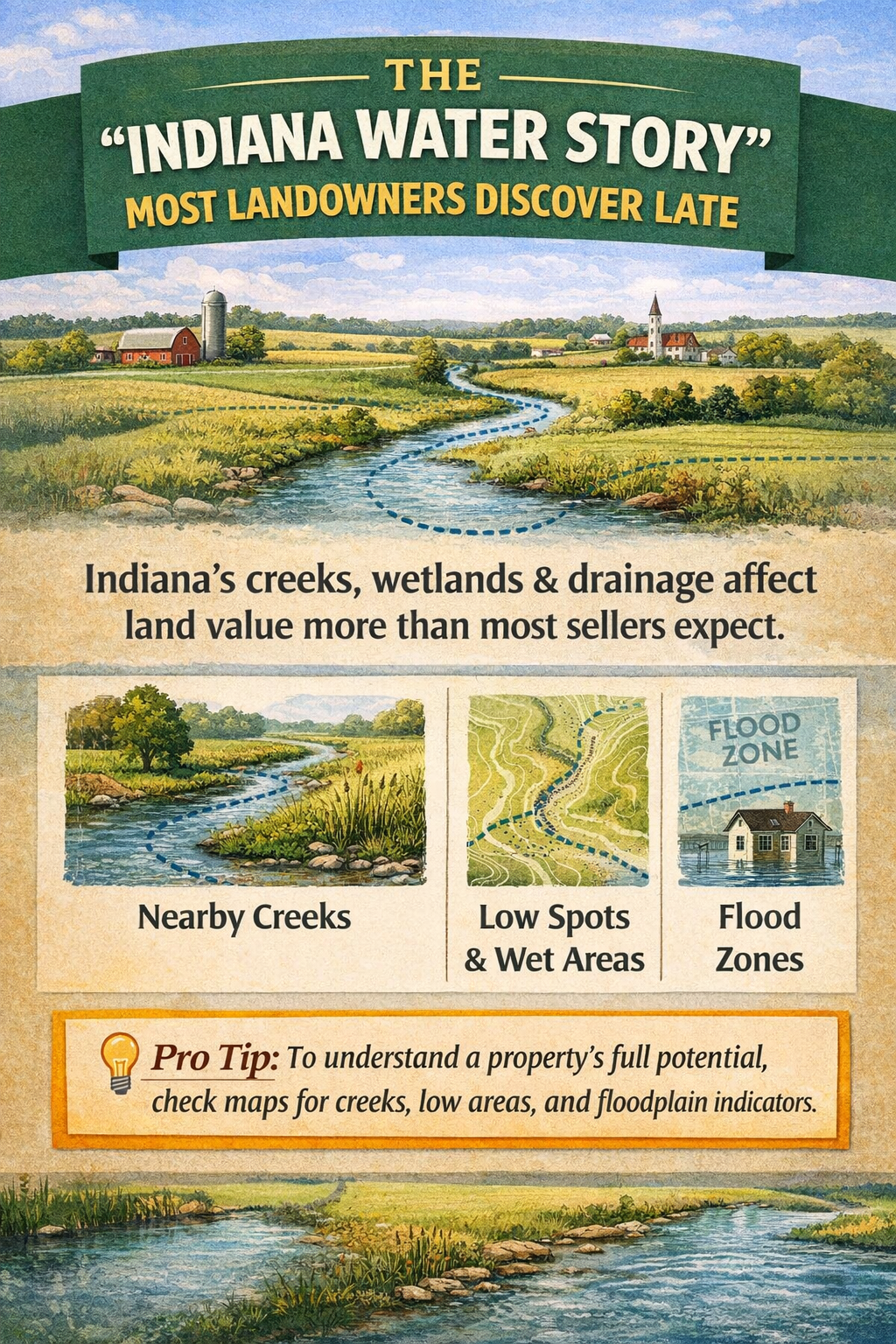
The “Water Story” Most Landowners Discover Late
Creeks, wetlands, and drainage patterns quietly shape what land can be used for—and what buyers will pay. Many Indiana owners don’t discover this until they’re ready to sell.
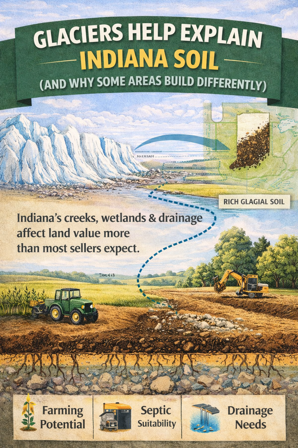
Glaciers Help Explain Indiana Soil (And Why Some Areas Build Differently)
Indiana’s soil was shaped by glaciers, not chance. That history explains why some parcels build easily while others face drainage, septic, or foundation challenges.